How You Can Tell You’re In Your Home Airspace
Today was cloudy in Southern California, which means it’s a great day to fly. Chances to get real time in real clouds are rare, so I took the time to bop off to Oxnard and Camarillo and play in the clouds on the way there and back. These were instrument flight plans, so, “play in the clouds” really meant “fly where air traffic control (ATC) tells you to fly and hope there are clouds there,” but I had pretty good luck. I had some lunch at Camarillo and was flying back to Santa Monica when I got to do a little visualization.
One of the things about instrument flying is that you have to learn to visualize where you are with only a little bit of information. It can be the angle and distance your aircraft is from known locations, or other fairly arcane bits of info. When I was learning to fly on instruments I spent a lot of time learning to decide where I was based on those kind of deductions, but these days I have a moving map that’s telling me where I am all the time. It makes flying much safer, but it’s nice to flex those visualization muscles.
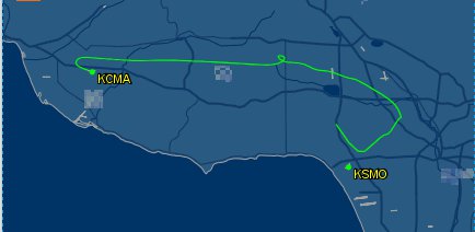
Here’s how I got to do that today. Take a look at my route here (image from FlightAware):

I’m flying from KCMA on the left to KSMO on the right. The green line is my flight path. The extra northward (upward) line at the end of the flight is a data error of some kind – I landed at Santa Monica. The visualization happened at the little loop halfway along.
I’m in and out of the clouds along that part of the flight – exactly what I was hoping for – and I’m practicing some control under instruments and the distractions of coming in and out of clouds. I’m listening to the radio, too, because (1) I’m listening for instructions and (2) I want to hear what else is going on. It’s that second part that was interesting today. As I’m cruising along I hear the controller issue landing instructions to a Southwest 737 inbound to Burbank. If you’re playing along on the map, that’s the grey ‘>’ near the right side of the map. The 737 is west of the field, being told to fly to SILEX intersection at 4000′.
That’s pretty much where I’m going to be shortly. Of course, I’m also going to be in a cloud shortly. And I say to myself “Is there something you’d like to share, Mr. Controller?” Sure enough, I get a message to turn more than 90 degrees to my left. And, I’m not sure, but it may have been a different controller – meaning that an instructor decided to make sure Southwest and I were far enough apart to be legal.
While I make my circle, the much faster jet goes into Burbank and I’m back on my way about 2 minutes later. If I didn’t visualize the jet’s route, this would have been a fairly unfathomable circle to make. But since I know this airspace well, I knew exactly what was going on.
As an aside, we were certainly never close enough to be dangerous. There are a couple other layers of safety systems that would have activated if we were actually close together. I should also point out that, strictly speaking, I don’t need to know why I’m making that circle. But understanding what’s going on gives that extra layer of comfort.
Other Cool Stuff
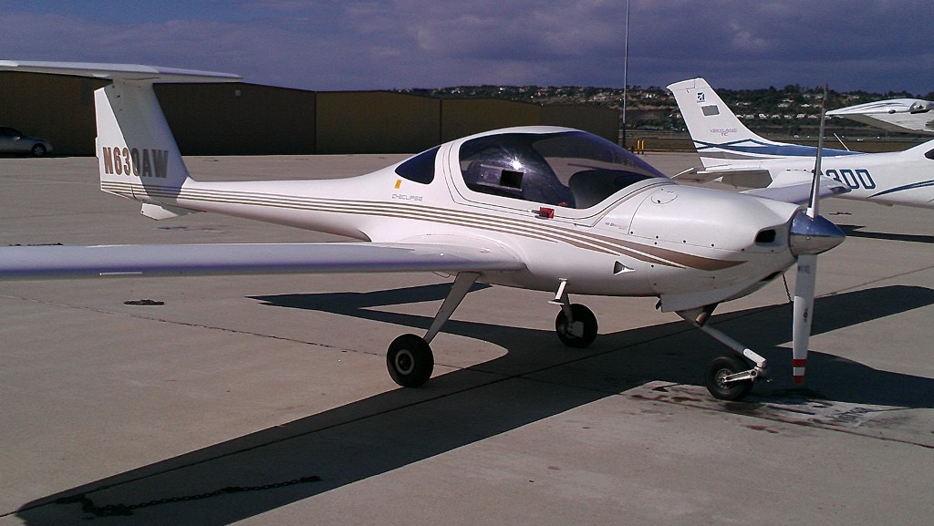
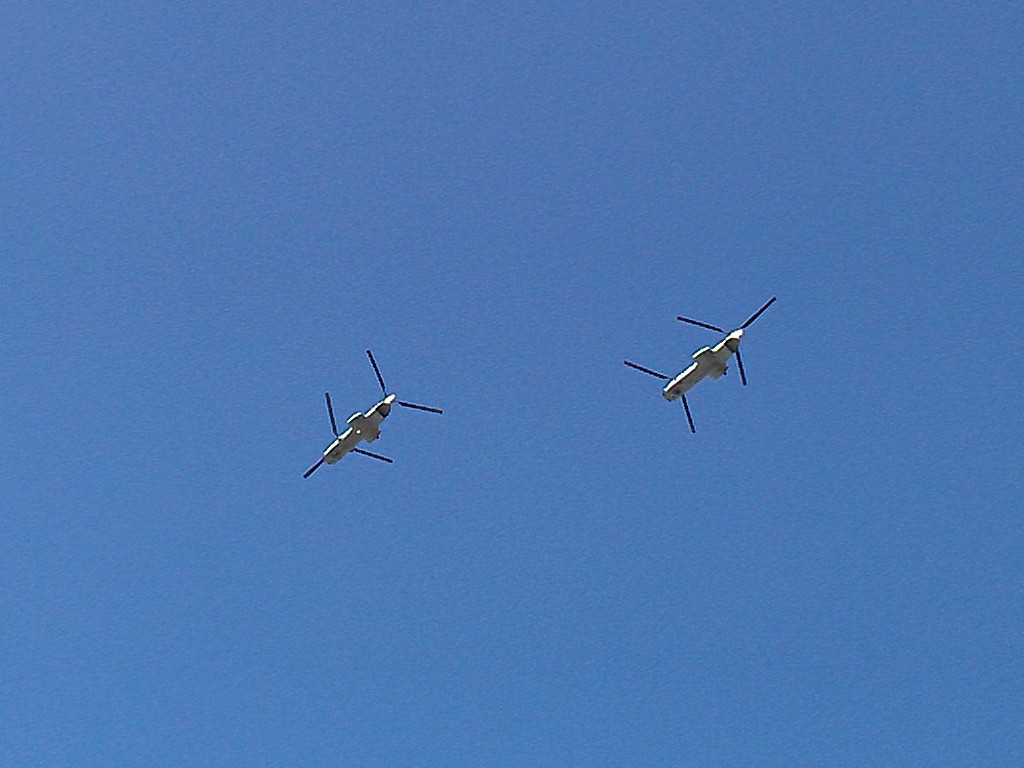
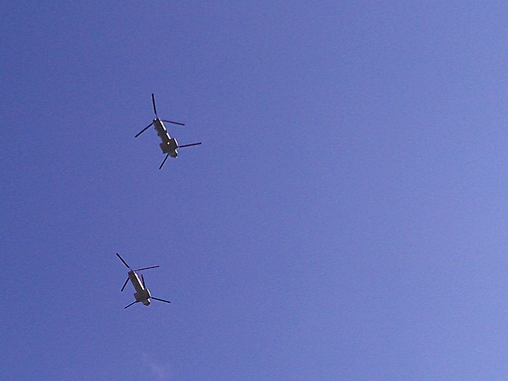
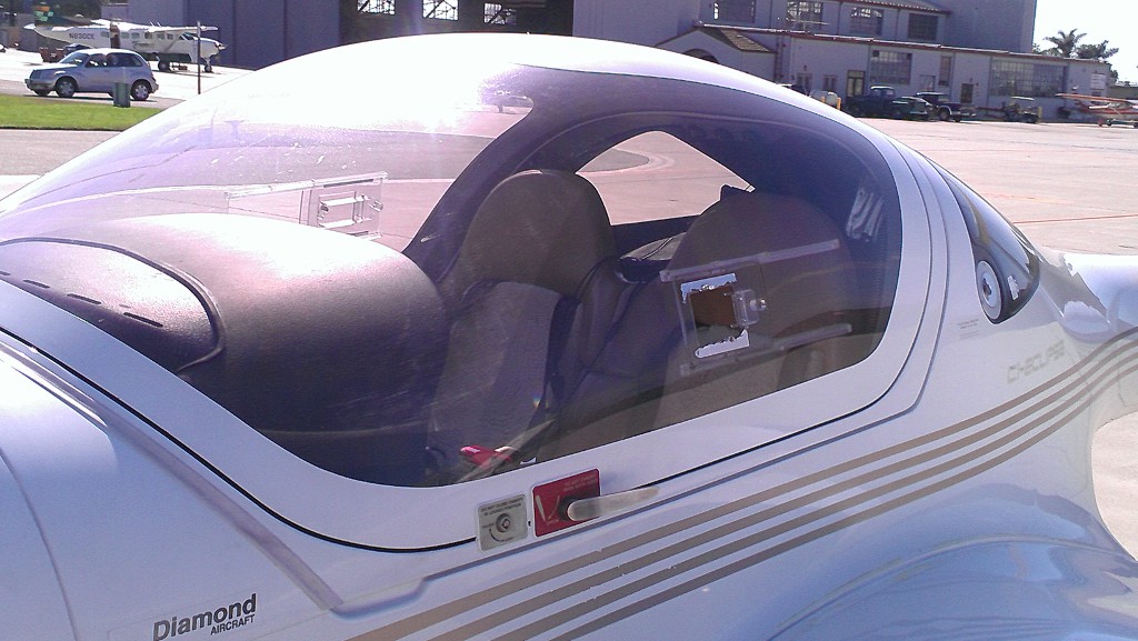
While I was at Camarillo, I saw a Diamond DA20 two-seat trainer. I know they’re out there, but this is the first one I’d seen. When I was covering my plane after the flight, I got to see two what I think were Chinook helicopters overhead. Even with a cell phone, I think the pics are pretty good.
-
- Looking directly up
-
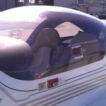
- See: two seats
-
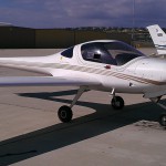
- Diamond two-seater